Who flies
One surveyor, named, with a construction background behind him
The short version
Sam Hembury is based in Exeter and covers Devon and the wider South West. He came to survey work from contracting rather than from photography, which shows up in the reports more than anywhere else: the thing being looked for is the fault that will cost somebody money, not the shot that will look good on a website.
That background is the reason the report says what a defect probably means and what it would take to put right, rather than stopping at a description of what is in the picture. It is also the reason it says when something is cosmetic. A surveyor with no trade behind them tends to flag everything, which is safe for the surveyor and useless for the person paying.
The flying side is registered and certificated rather than improvised. The Civil Aviation Authority holds the operator registration, the Operator ID is displayed on the aircraft, and the A2 Certificate of Competency sits above the basic Flyer ID test. There is no General VLOS Certificate, which is stated here and on its own page rather than quietly left off the list.
Commercial work is insured with Coverdrone. If you want the certificate before you commit to anything, ask and it comes back by email. Plenty of people never ask, and the ones who do are usually the ones instructing on behalf of somebody else.
On the record
Registrations, kit and cover
Registered with the CAA
A registered operator with both an Operator ID and a Flyer ID. The Operator ID is the one that has to be displayed on the aircraft, and it is the number a client or an insurer asks for.
A2 Certificate of Competency
The A2 CofC is the theory and self-practical qualification that sits above the basic Flyer ID test. There is no GVC, which is stated here rather than left out, because it changes how some sites have to be planned.
Insured with Coverdrone
Commercial cover through Coverdrone, one of the specialist drone insurers. A copy of the certificate goes out on request before a booking, not after it.
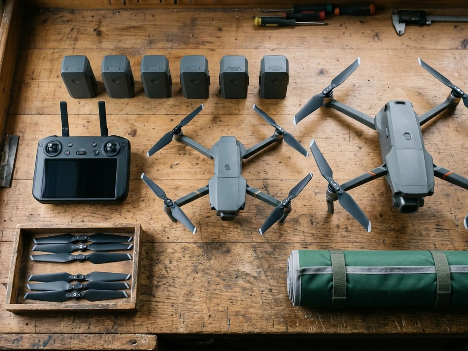
DJI Mavic 4 Pro
The main survey aircraft. A 100 megapixel Hasselblad camera and 6K video, which is what lets a photograph of a ridge from twenty metres away still show an open mortar joint.
DJI Mavic 2 Enterprise Advanced
The thermal aircraft. A 640 by 512 radiometric thermal camera alongside the visual one, so a heat pattern can be read against the picture of the same elevation.
Construction background
The surveying came after years of contracting, so the report is written by somebody who has stood on the scaffold as well as flown over it, and who knows which faults matter and which are cosmetic.
Written report within 48 hours
A process commitment, not a sales promise. The flight is the short part of the job; the report is where the time goes, and it lands within two days of the visit.
No scaffolding, no ladders
Nothing leans on the building and nobody goes up it. That removes the access cost, the permit paperwork and the working-at-height risk from the survey itself.
DJI Mavic 4 Pro
100 megapixel Hasselblad camera and 6K video.
DJI Mavic 2 Enterprise Advanced
640 by 512 radiometric thermal camera alongside the visual camera.
How we work
How the work is approached
The building comes before the aircraft
The first questions are about the property, not the kit. What is worrying you, how old is the roof, has anything been done to it, what does the access look like. The aircraft is chosen after that, and on plenty of jobs the answer is that a drone is not the right tool at all.
If the site cannot be flown, you get told
Some sites cannot be flown safely or lawfully within the permissions held. A tight terrace with a school playground behind it is a real example of the kind of thing that changes the answer. Saying so before the visit costs one phone call. Finding out on the day costs everybody a morning.
Photographs are evidence, not decoration
Every frame in a report exists because a decision hangs on it. Nothing goes in because it looked nice from three hundred feet. That keeps the report short enough that somebody will actually read it.
The price is fixed before the visit
A fixed price per survey, agreed once the address and the scope are known, with travel inside it. No hourly creep, no charge for the drive from Exeter, and no revised figure at the end unless the job on arrival is materially different from the one described.
Nothing touches the building
No scaffolding, no ladders, no roof access. That removes the access cost and the working at height risk from the survey, and it means an occupied building carries on as normal while the flight happens.
The report is yours
The imagery and the write up are commissioned by you and are yours to forward to a roofer, a managing agent, a building surveyor or an insurer. Nothing is held back to force a follow up appointment.
See the credentials
Talk to a surveyor with Drone Surveyors
Tell us the address and what you need looking at. Sam Hembury will come back with a fixed price and the next available slot.