Devon · EX7
Drone surveys in Dawlish, flown by the surveyor who writes them
Half an hour from Exeter, among the most storm exposed places on this coast, where cliff top bungalows take unbroken wind at ridge and verge.
Storm country
Dawlish takes more punishment than almost anywhere else on this coast. South easterly gales throw sea water over the wall, and the cliff top estates above the town stand in unbroken wind with nothing between them and the Channel. Ridge, verge and flashing failures after a storm season are the normal state of affairs rather than an unlucky year.
That gives the survey work here a particular shape. A large share of it is post-storm: somebody has noticed a slipped tile or a stain on a ceiling and wants to know what else moved while they were not looking. The answer is usually more than they expected, because a gale that lifts one ridge tile has been working on the whole line.
Bungalows on the cliff top
The extensive post-war bungalow development on the cliff tops is the defining stock here and it has its own failure pattern. A bungalow presents a large roof area relative to its height, with long unbroken verges and a low ridge, and it usually carries concrete interlocking tile or, on extensions and garages, flat felt.
Long verges in high wind are a problem because the whole edge is in suction at once. Where the verge was pointed rather than mechanically fixed, the mortar goes in sections and then the tiles follow. Flat felt on a bungalow extension is the other recurring finding: it is old, it is out of sight from every window in the house, and the first sign of failure is usually inside.
Neither is visible from the ground. A bungalow is exactly the case where an owner assumes they can see their own roof because it is low, and cannot see the two thirds of it that faces away from the drive.
A town in a cleft
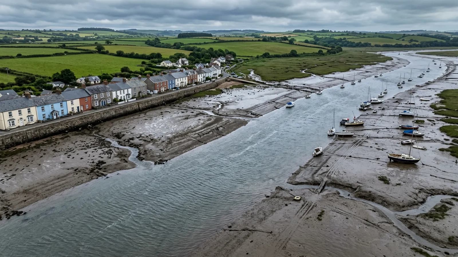
The town itself sits in a narrow valley cut into red sandstone cliffs, split by the Dawlish Water, with the main railway line running along the sea wall at the foot of it. Regency and Victorian terraces around The Lawn and the seafront hotels sit low and sheltered from the west but wide open to the south east.
That split geography means two properties a few hundred metres apart can be in completely different exposure, one tucked in the valley and one on the cliff edge. It is worth saying which you are when you enquire, because it changes what the survey is looking for before anyone leaves Exeter.
Modern estates inland at Dawlish Warren are a third case again, newer, lower and better fixed, where the survey question is more often about workmanship on a recent build than about weathering.
Flying here, and when not to
This is the town on the list where a flight is most often postponed, and that is the right outcome. Sea wall overtopping conditions are not survey conditions. Between systems, though, the same exposure that damages the buildings makes for very clean imagery: little vegetation on the roofs, clear light off the water, and coverings scoured rather than mossy.
The railway along the sea wall is a fixed feature of the geography and it is planned around rather than flown over. So is the beach in season. Neither is a difficulty on most addresses, but both are checked before a date is agreed.
Behind the survey
What Dawlish clients are actually buying
Registered with the CAA
A registered operator with both an Operator ID and a Flyer ID. The Operator ID is the one that has to be displayed on the aircraft, and it is the number a client or an insurer asks for.
A2 Certificate of Competency
The A2 CofC is the theory and self-practical qualification that sits above the basic Flyer ID test. There is no GVC, which is stated here rather than left out, because it changes how some sites have to be planned.
Insured with Coverdrone
Commercial cover through Coverdrone, one of the specialist drone insurers. A copy of the certificate goes out on request before a booking, not after it.
DJI Mavic 4 Pro
The main survey aircraft. A 100 megapixel Hasselblad camera and 6K video, which is what lets a photograph of a ridge from twenty metres away still show an open mortar joint.
DJI Mavic 2 Enterprise Advanced
The thermal aircraft. A 640 by 512 radiometric thermal camera alongside the visual one, so a heat pattern can be read against the picture of the same elevation.
Construction background
The surveying came after years of contracting, so the report is written by somebody who has stood on the scaffold as well as flown over it, and who knows which faults matter and which are cosmetic.
Written report within 48 hours
A process commitment, not a sales promise. The flight is the short part of the job; the report is where the time goes, and it lands within two days of the visit.
No scaffolding, no ladders
Nothing leans on the building and nobody goes up it. That removes the access cost, the permit paperwork and the working-at-height risk from the survey itself.
Nearby
Also covered around Dawlish
- TeignmouthAbout half an hour from Exeter. A seafront town that catches easterly gales, which finds the details built only for south westerly weather.
- ExeterThe base town, ten minutes away. The constraint in Exeter is other people rather than distance: dense roofscapes, student blocks, city airspace.
- Newton AbbotAbout half an hour from Exeter. A flat floodplain town of railway-era terraces and trading estate roofs, where mist off the Teign keeps shaded slate green.
- ExmouthTwenty minutes from Exeter and the most exposed town on the list: two miles of open front, unbroken salt wind, and uplift at ridge and verge.
See the credentials
Talk to a surveyor in Dawlish
Send the address and what is worrying you. Sam Hembury will come back with a fixed price and the next slot that suits the weather.